Vogelschaubild von Palästina [Bird`s Eye View of Palestine]
Author
--
Description
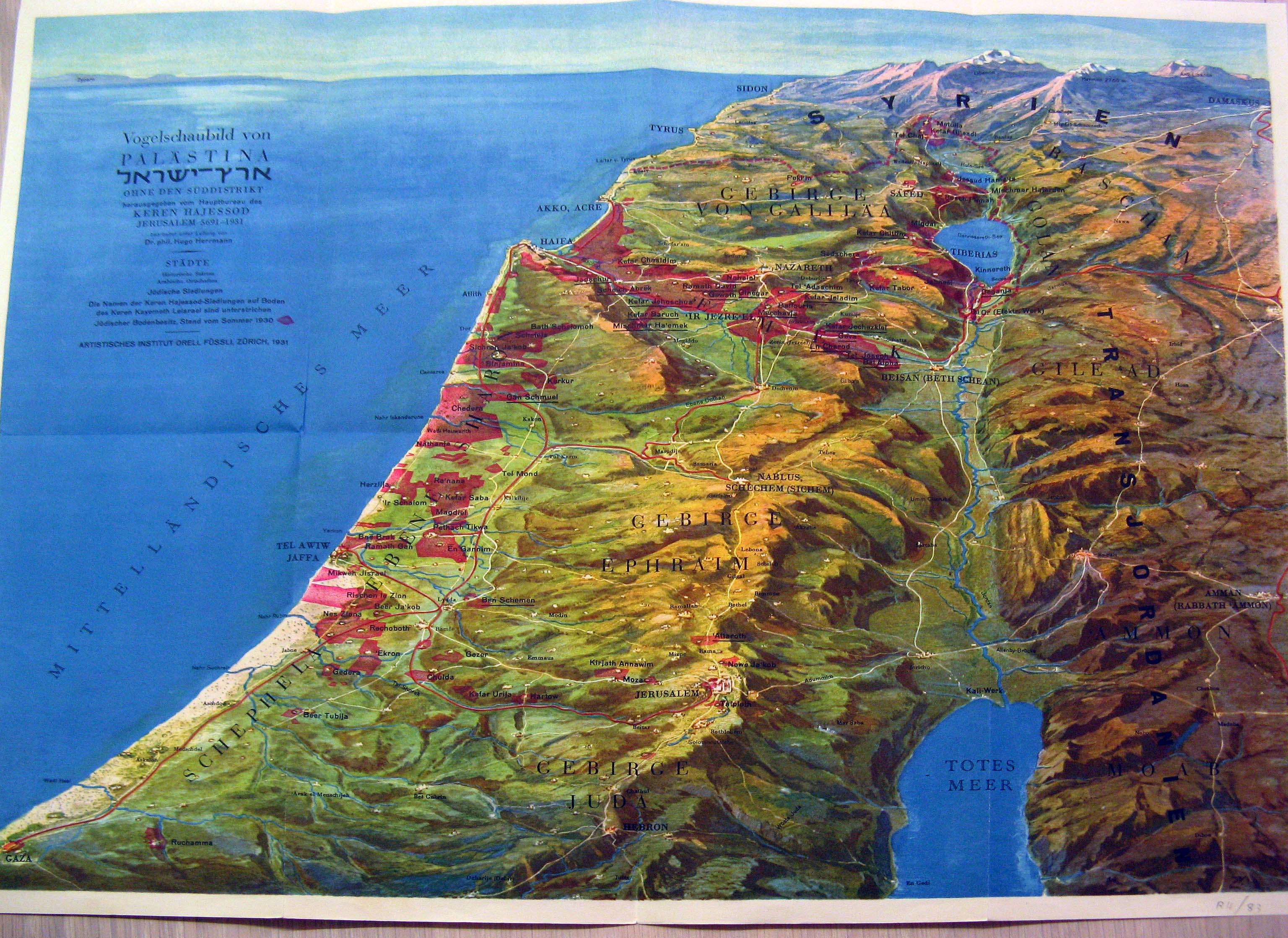
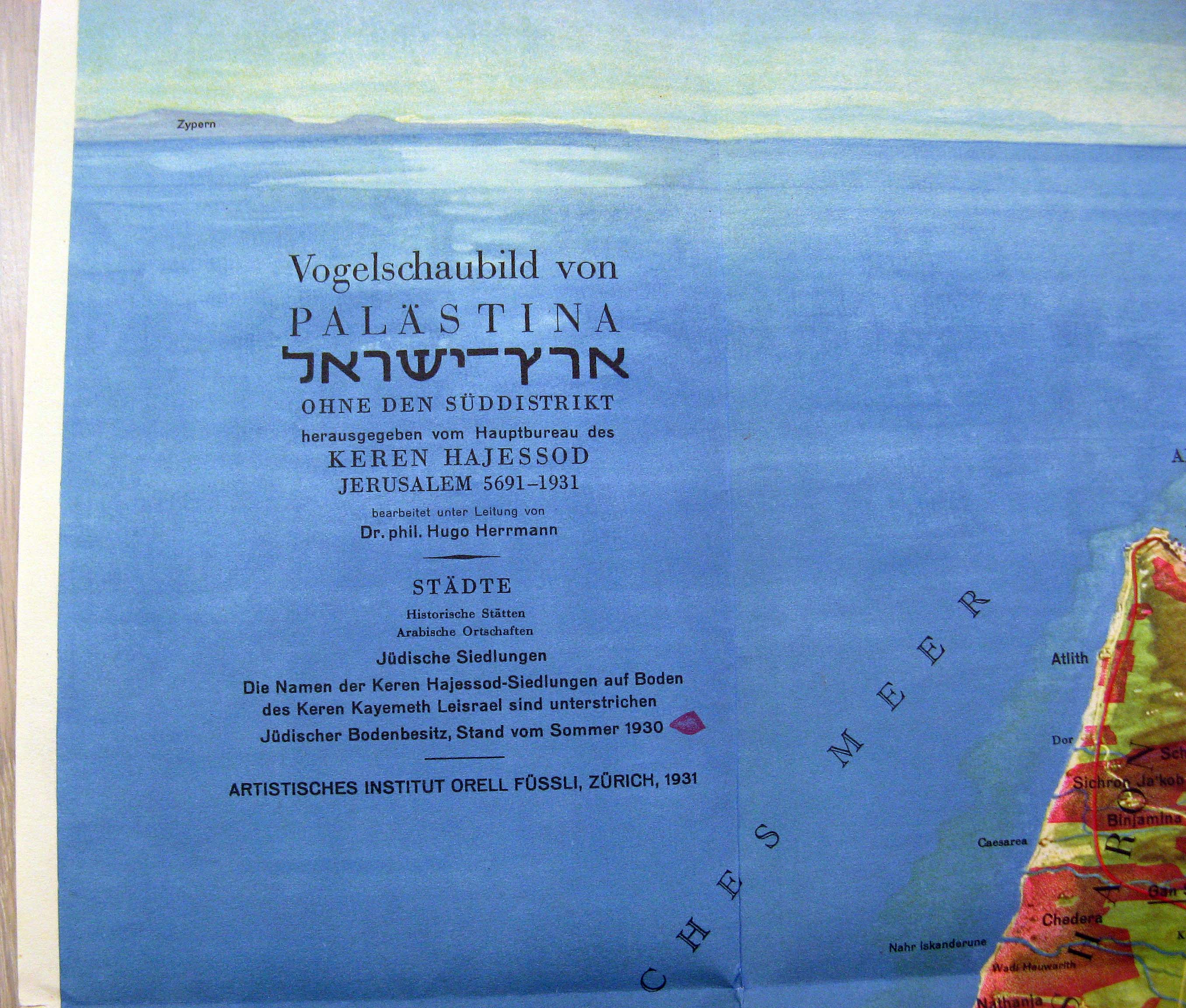
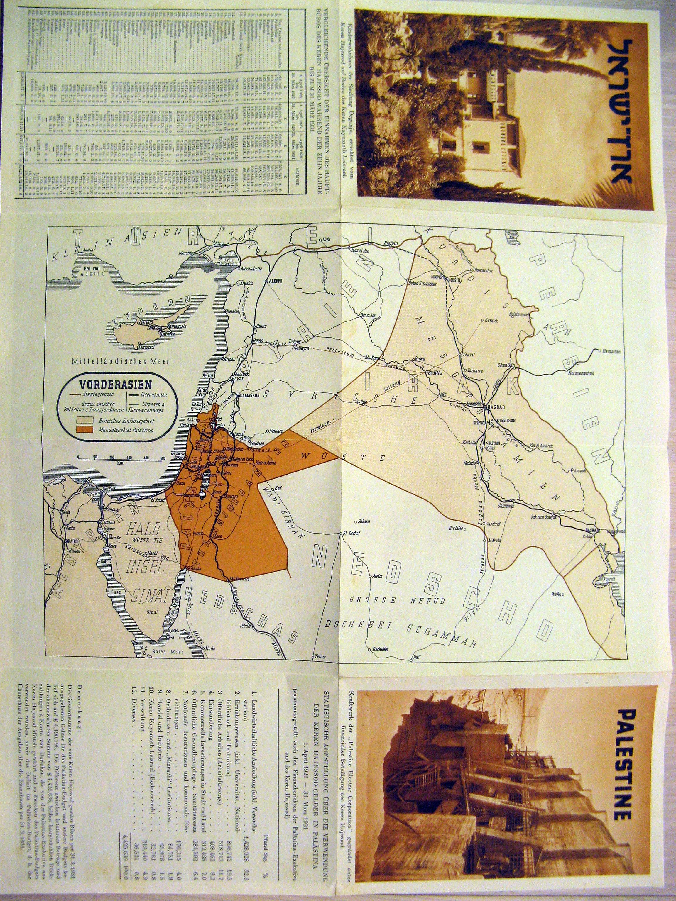
A "Faux 3-Dimensional" color map of the northern half of Palestine, from Hebron in the south to the Galilee in the north. The map shows terrain undulation with remarkable accuracy, as well as settled areas - but also labels the locations of the territories of the Ancient Tribes of Israel, and several other biblical regions. The map was created by the United Israel Appeal (Keren HaYesod) in 1931, and printed in Zurich by Orell Fussli. The map is in German. [VERSO:] The main portion of this side contains a low-detail map of the British Mandates in Palestine/Transjordan and Iraq. On either side are photographs from Keren HaYesod projects in Palestine (The Kibbutz in Deganiyah; construction of a Palestine Electrical Corporation facility), as well as detailed tables celebrating Keren Hayesod affairs.