Maps of `Iraq with Notes for Visitors.  
  Revised and Enlarged Edition, 1929.  

 
Author
Place of Publication Baghdad
Publication Name Government of `Iraq
Year 1929
Language(s) English
Description
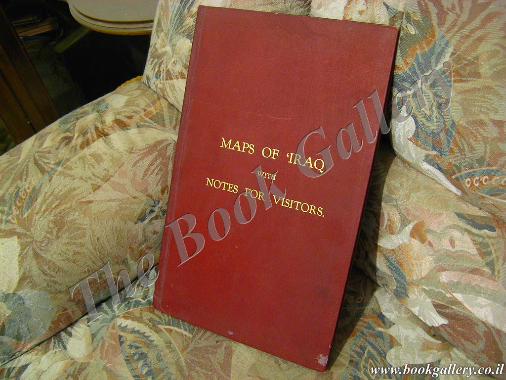
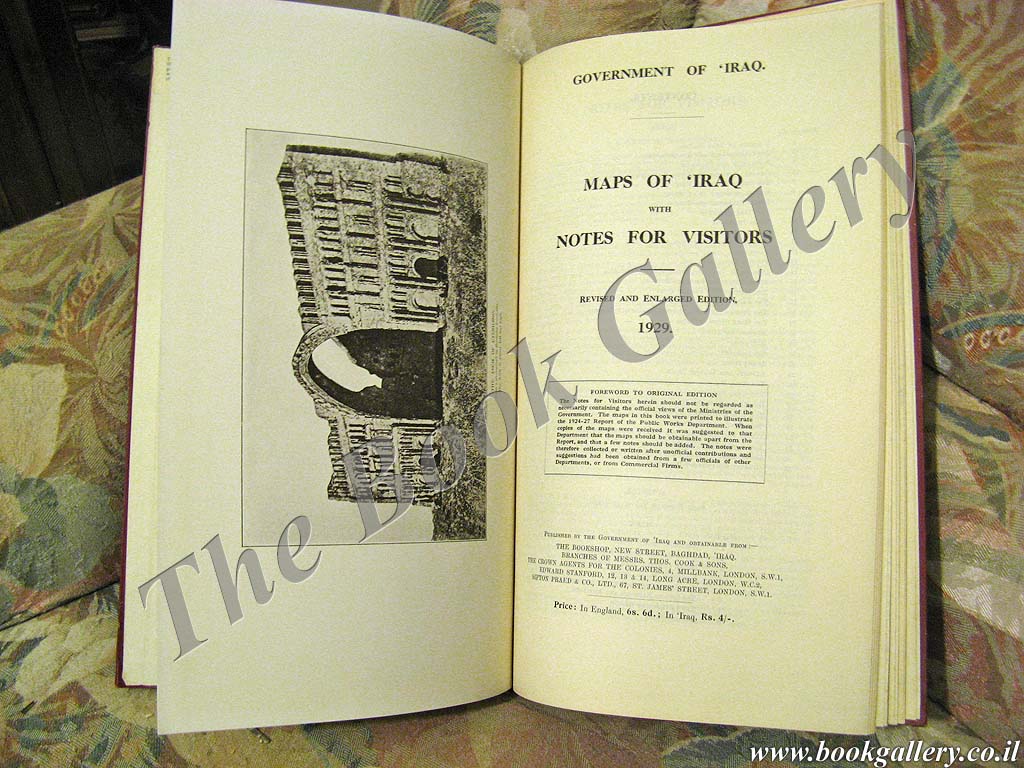
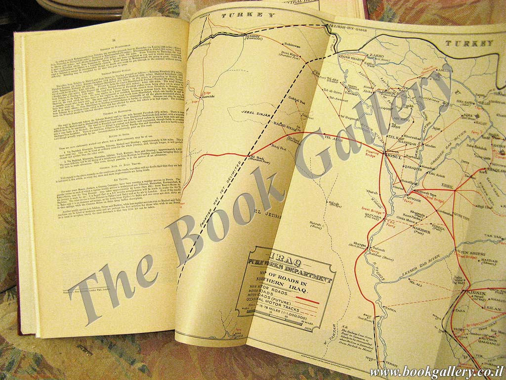
RARE guidebook for tourists traveling to British-controlled Iraq. The book features 8 color maps of the main roads and routes, municipal maps of Baghdad and Basrah, and a map of archaeological sites, with extensive notes describing the history of Iraq and relate useful travel information. 340x215mm. 34 text pages & 8 fold-out maps. Red cloth Hardcover with gilt lettering on front cover. Cover slightly worn and slightly stained. Cover corners and spine edges bumped. Cover edges slightly bumped. Sticker on endpaper. Endpapers slightly stained. Pages slightly yellowing. [SUMMARY]: This rare colonial guidebook is in good condition.
Price
No longer available
Catalog Index Number MS 22 55

Image Gallery
(Click an image to enlarge)

Front Cover
Title Page

Additional Images


View more books, in related categories:
Maps & Cartography
Middle East & The Arab World
Travel Guides
Geography
Archaeology of Israel & The Near-East

 
Homepage     About us     Advanced Search     Contact Us     Help!

6 Shatz St. (26 King George st. corner) Jerusalem
Near the Artists' House and Betzal'el Academy

E-mail: info@bookgallery.co.il

TEL: +972-2-6231087 (02-6231087)

FAX: +972-2-6255513 (02-6255513)